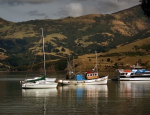
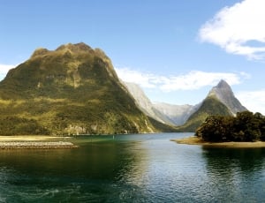
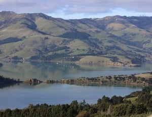
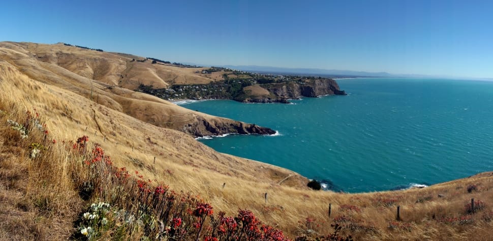
Banks Peninsula is situated in about the middle of the east coast of the South Island on the margin of the Canterbury Plains. It is approximately 450 sq. miles in area and its highest point is Herbert Peak, 3,014 ft. It comprises two extinct volcanoes which were active less than half a million years ago. Their craters have subsequently been enlarged to many times their original size by stream erosion; they were then invaded by the sea during the postglacial world-wide rise in sea level beginning about 15,000 years ago. They now form the harbours of Lyttelton and Akaroa. Originally Banks Peninsula was an island, but it became tied to the Canterbury Plains at some late stage in geological history when the growing alluvial plain reached its base.
This image is royalty free for personal and commercial use, You can copy, modify, distribute and perform the image, all without asking permission. But we would appreciate if you could place a link refer to peakpx or spread it in social media. You can paste HTML code below into your blog or website:
Our "SmartResize" technology can intelligently detect the main part of this image and crop it to any wallpaper sizes, you can apply resolutions below to download wallpaper that matches your device.
Select resolution to download this image as HD wallpaper, your screen resolution is :